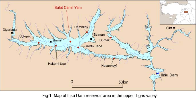
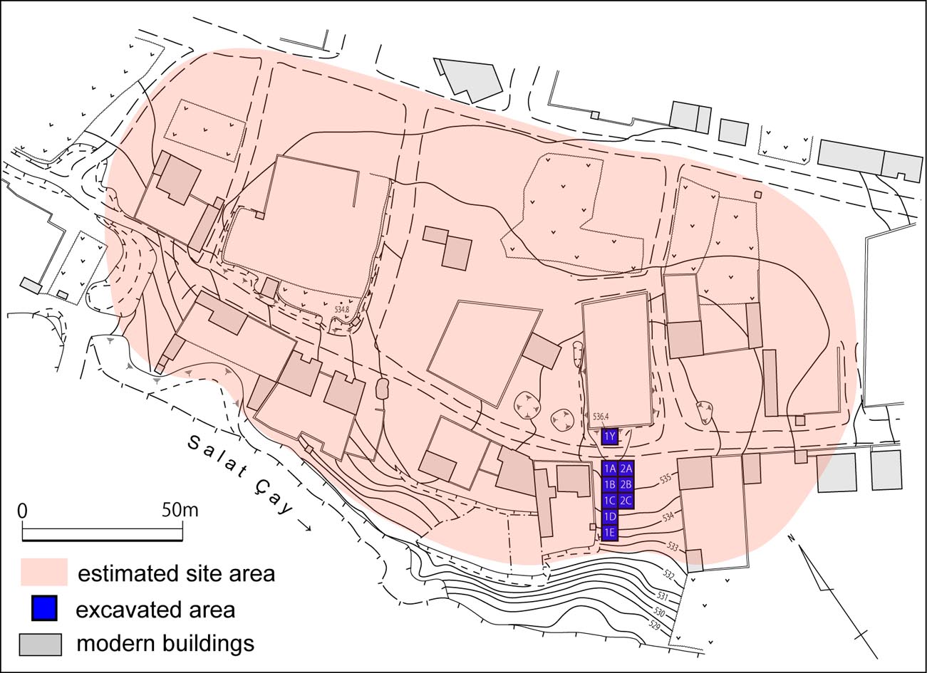
Salat Camii Yanı is located on the left bank of the Salat River ca. 3 km upstream from its confluence with the Tigris (Fig. 1). The site was first discovered in 1989 during the course of the Tigris-Euphrates Archaeological Reconnaissance Project directed by G. Algaze and was originally named "Salat Cami Tepe". Additional surface collection was undertaken by the Salat Tepe (a nearby later age site) excavation team in 2002. An early topographic map (Fig. 2) indicates that the site was originally a low oval mound extending about 200 x 100m (Miyake 2005). However, when we visited it in 2003, the Neolithic mound had been incorporated into the modern village of Yukar Salat which had expanded towards the riverbank and consequently destroyed and leveled the upperpart of the site (Fig. 2). The distribution of the surface collection and result of the soundings conducted in 2005 suggest that the approximate extent of the site is about 2ha at the largest. This size is not unusual for settlements in the Pottery Neolithic in Southeast Anatolia and North Mesopotamia and it is likely that Salat Camii Yanı represented a standard farming village from this period.
Other than Salt Camii Yanı, four more Neolithic sites, Demirköy Höyük, Körtik Tepe, Hakemi Use and Sumaki, have so far been excavated in the Ilıs Dam reservoir area.
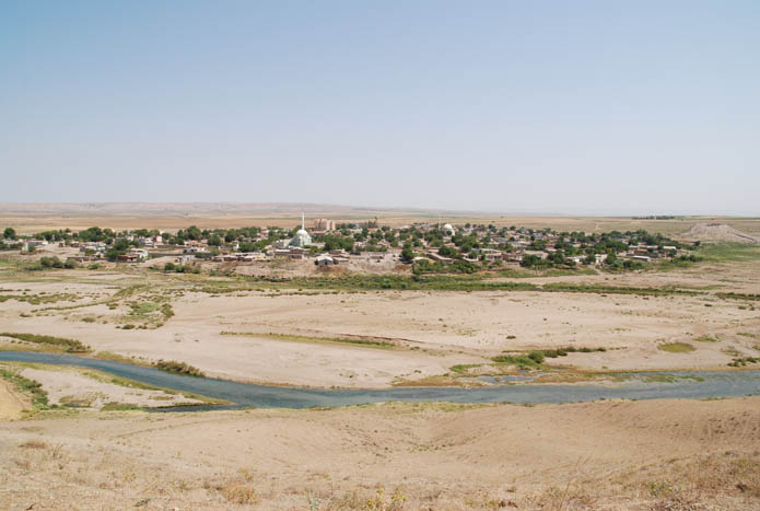
View of Salat Camii Yanı and the village of Yukarı Salat.
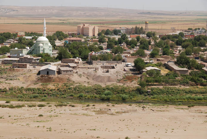
Closer view of Salat Camii Yanı and the village of Yukarı Salat.